|
| *****SWAAG_ID***** | 911 |
| Date Entered | 22/01/2016 |
| Updated on | 24/01/2016 |
| Recorded by | Tim Laurie |
| Category | Settlement |
| Record Type | Archaeology |
| Record Date | 20/01/2016 |
| Location | Gunnerside, Bents |
| Civil Parish | Melbecks |
| Brit. National Grid | Hidden |
| Altitude | 360m |
| Geology | Faulted strata below the Middle Limestone |
| Record Name | Gunnerside, Lodge Green, a settlement landscape in winter. |
| Record Description | SWAAG have commenced a programme of survey of settlements of all periods on the upper pastures of Swaledale which have not been recorded in detail. Previous SWAAG Record Nos 907-909 introduced the early settlement landscape centred on Low Row Pasture under field survey. This record is Part Two of the same programme of fieldwork.
The earliest evidence for human activity on the upper Dale Side between Gunnerside and Low Row are lithic scatters, stone artefact scatters marking occupation sites of Mesolithic and Neolithic Age. These finds, together with stone burial cairns, ring cairns and burnt mounds -all of Late Neolithic/Bronze Age Character together with extensive field systems and settlements of prehistoric Iron Age/Native Roman date have been recognised on these upper pastures. However, of exceptional local interest must surely be the recognition of the open linear settlement of five rectangular buildings of Pre-Conquest, pioneering Norse character located on the 360m contour at Lodge Green. These five 'long' houses may prove to be Gunnar's Saeter and the well known but not proven origin of the place name Gunnerside.
Finally, despite the fine efforts of Restoration Man, the remains of many as yet deserted farmsteads and barns of the Farmer/Miners survive as evocative reminders of their families raised here.
|
| Dimensions | See photos |
| Additional Notes | This is a preview of the survey which will, when complete include not only archaeological features of all periods from Barney Beck to Winterings,above Gunnerside Gill, but photographs of many ruined agricultural buildings, relicts of the Farmer/Miners who once worked in this area. No attempt will be to provide their histories, rather a snapshot record of their existence and appearance today. |
| Image 1 ID | 6631 Click image to enlarge |
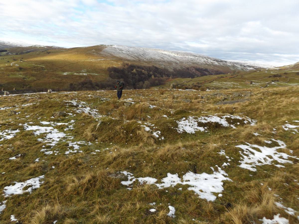
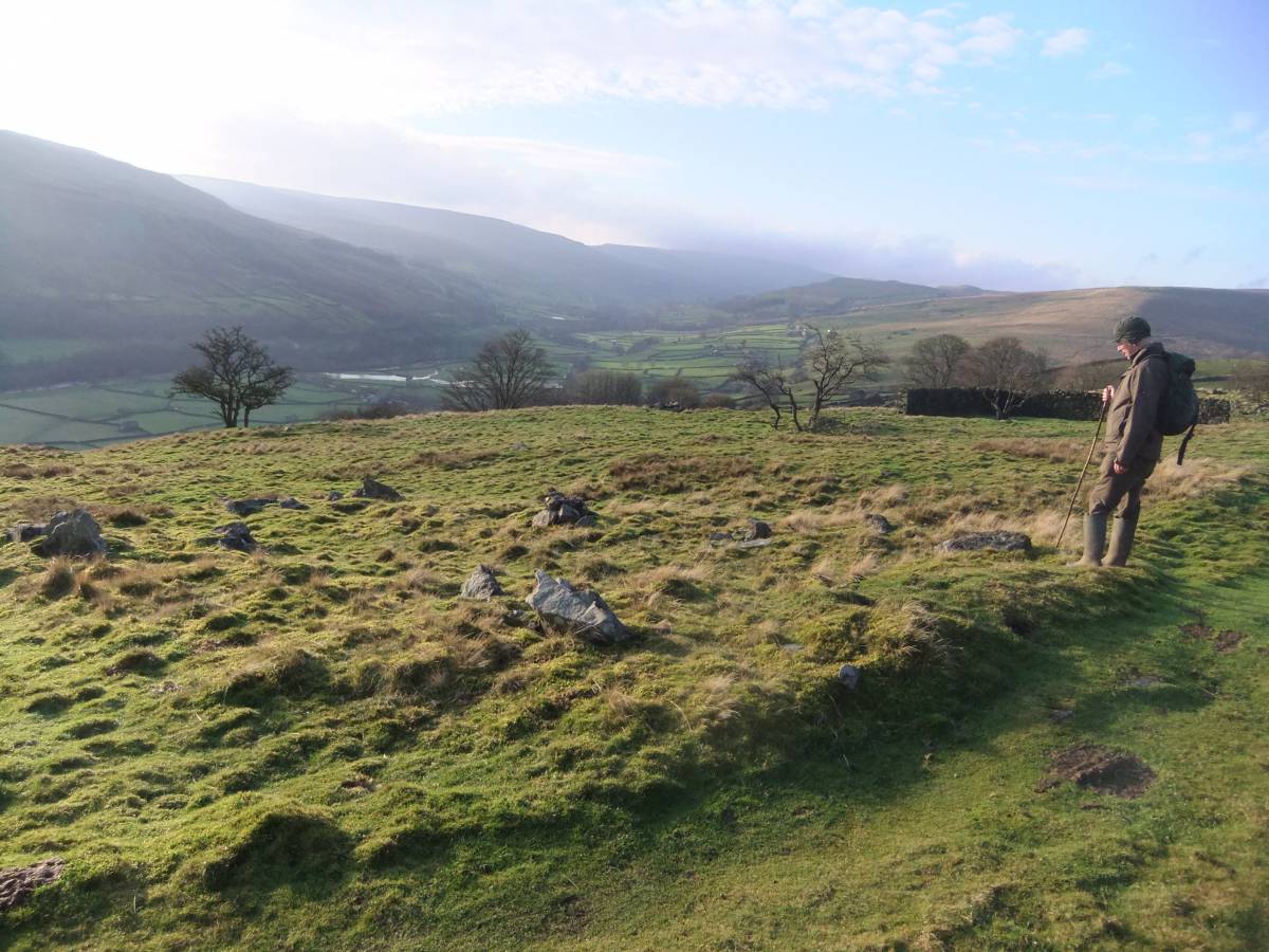
| Image 1 Description | Rectangular Structure No 1 at Bents. | 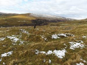 |
| Image 2 ID | 6630 Click image to enlarge |
| Image 2 Description | Rectangular Structure No 1 at Bents. | 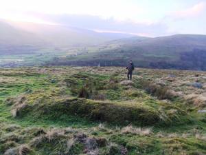 |
| Image 3 ID | 6632 Click image to enlarge |
| Image 3 Description | Rectangular Structure No 3 at Bents. |  |
| Image 4 ID | 6633 Click image to enlarge |
| Image 4 Description | Rectangular Structure No 4 at Bents. | 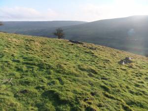 |
| Image 5 ID | 6634 Click image to enlarge |
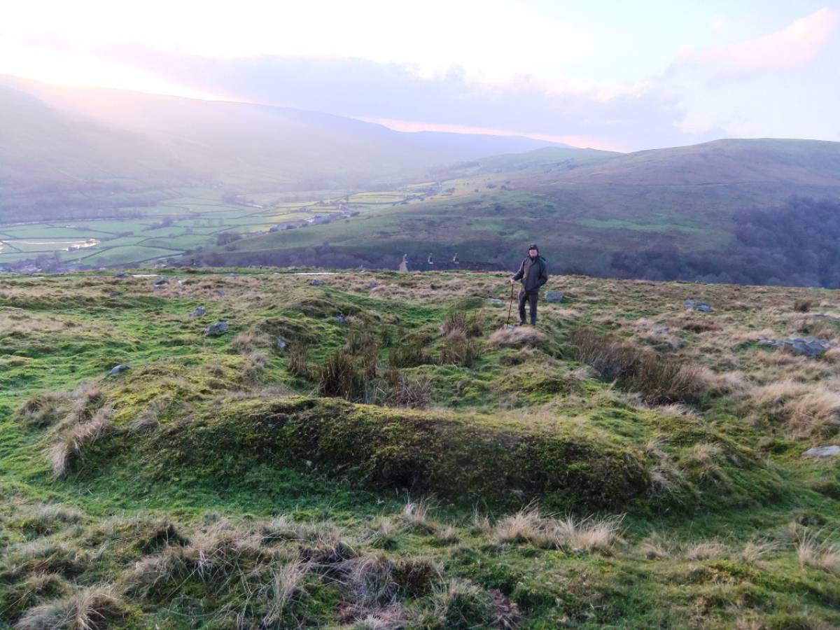
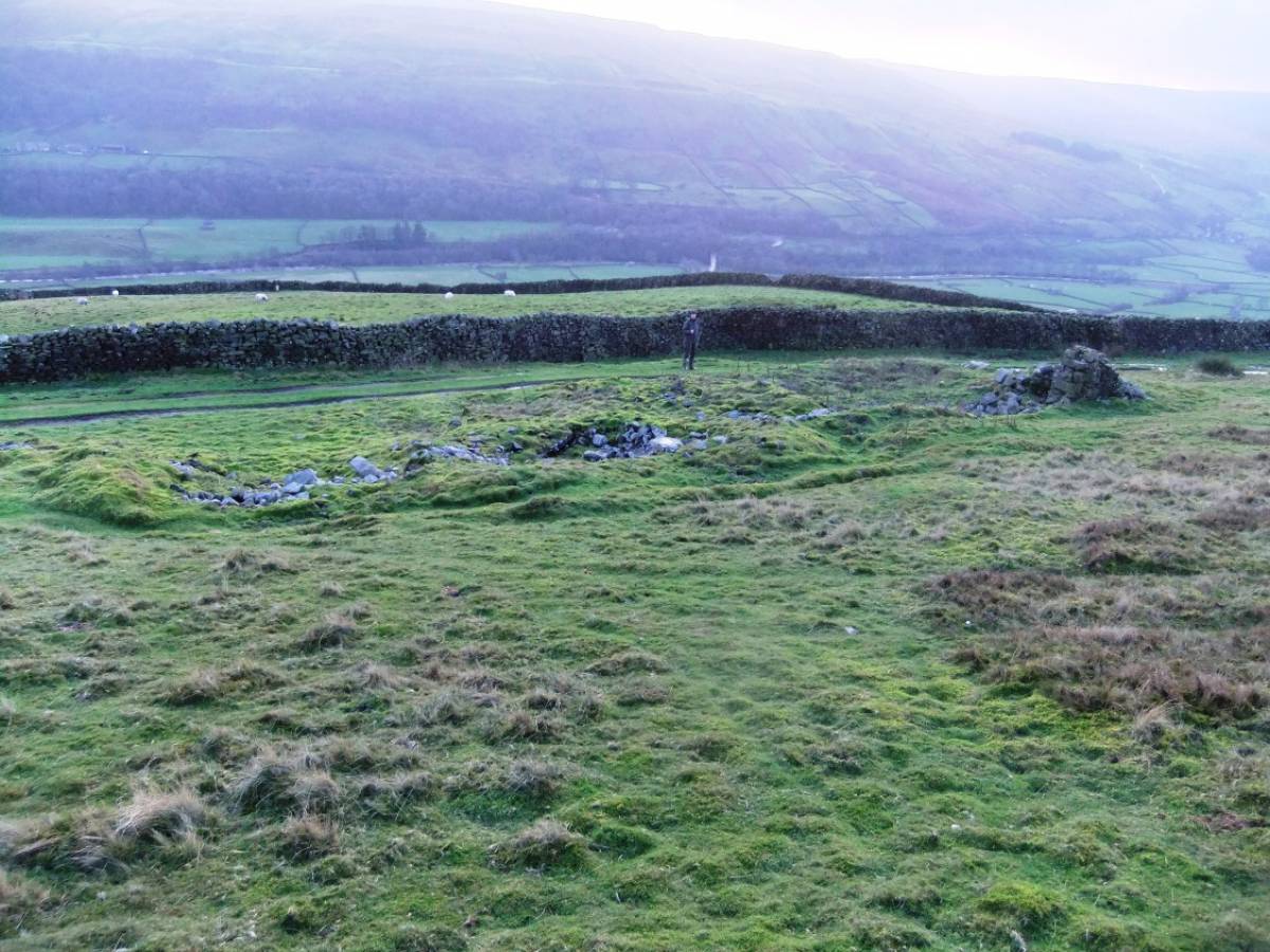
| Image 5 Description | Rectangular Structure No 5 at Bents. |  |
| Image 6 ID | 6635 Click image to enlarge |
| Image 6 Description | Rectangular Structure No 5 at Bents. | 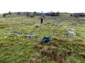 |
| Image 7 ID | 6636 Click image to enlarge |
| Image 7 Description | Rectangular Structure No 5 at Bents. | 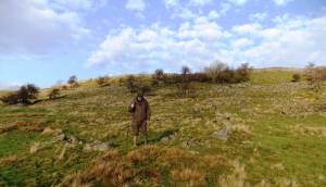 |
| Image 8 ID | 6637 Click image to enlarge |
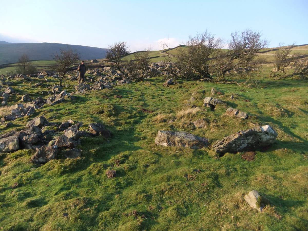
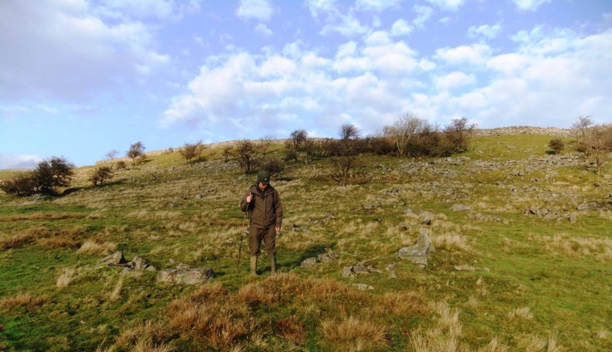
| Image 8 Description | Upper field boundary associated with the the rectangular structures at Bents. |  |
| Image 9 ID | 6638 Click image to enlarge |
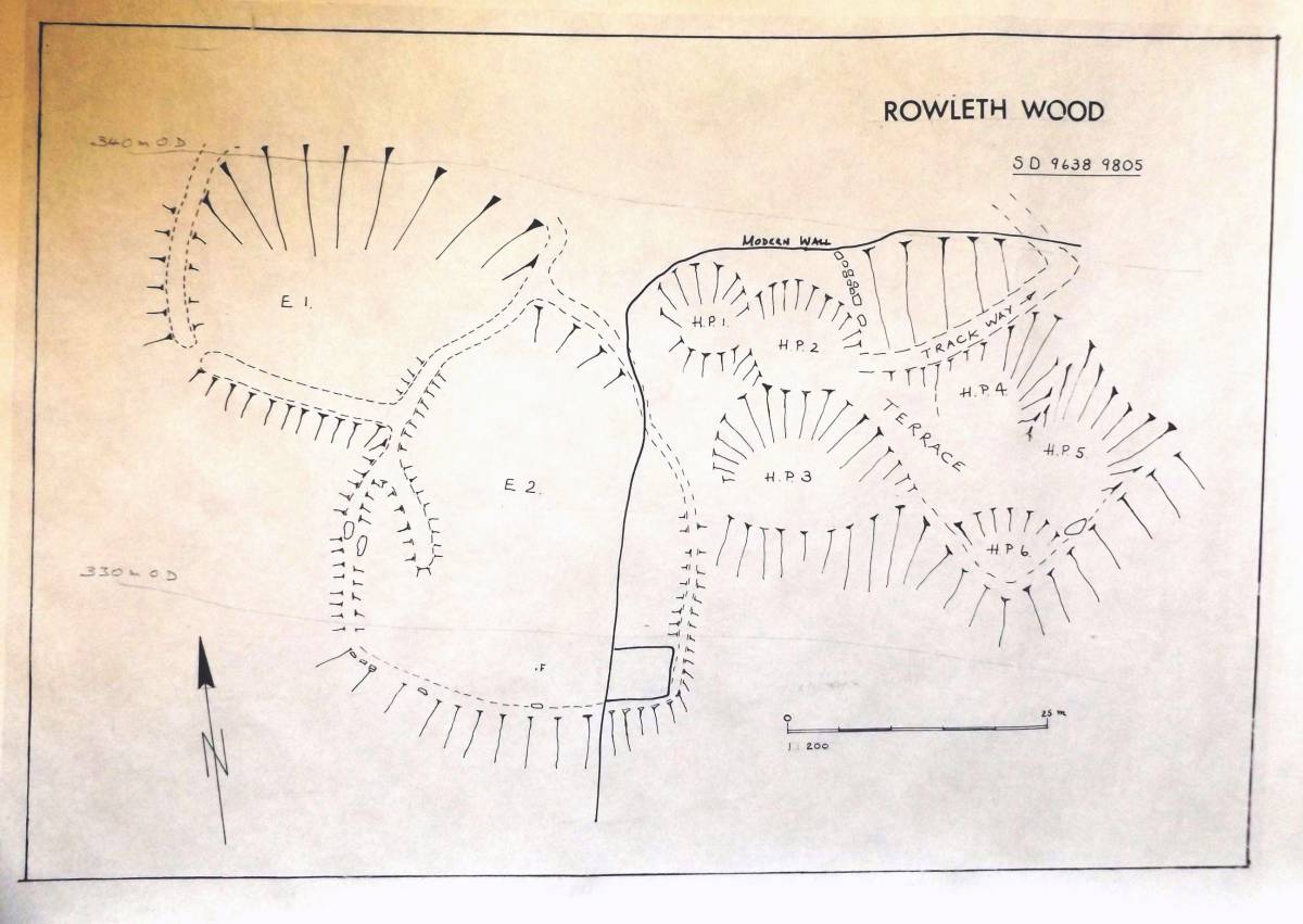
| Image 9 Description | Rowleth Wood. Enclosed platform settlement of prehistoric iron age character, Site Plan | 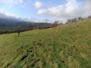 |
| Image 10 ID | 6639 Click image to enlarge |
| Image 10 Description | Rowleth Wood. Enclosed platform settlement of prehistoric iron age character |  |
| Image 11 ID | 6640 Click image to enlarge |
| Image 11 Description | Enclosed settlement at Rowleth Wood. Plane table Survey Plan 1:100 TCL 1994 | 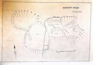 |
| Image 12 ID | 6647 Click image to enlarge |
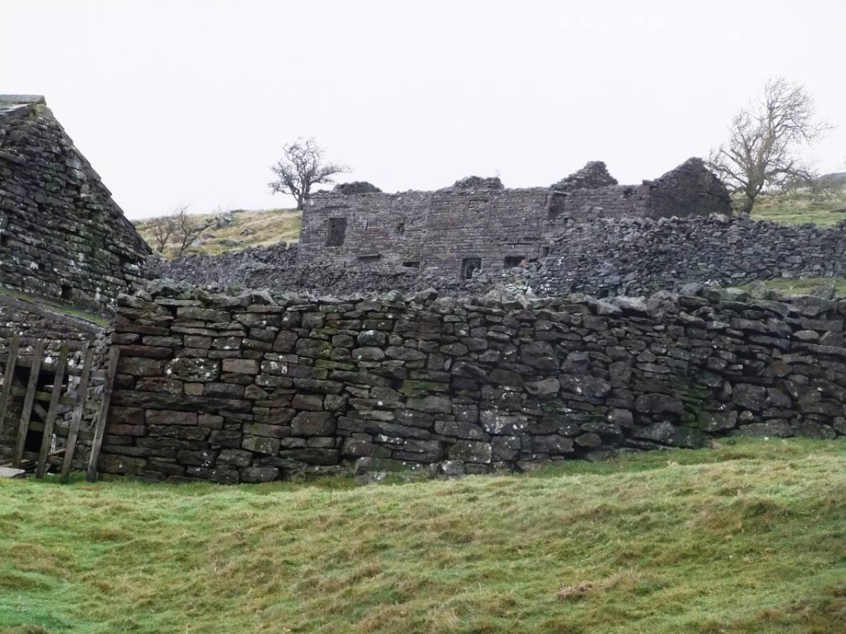
| Image 12 Description | Remains of an as yet, un-named substantial Dales Farm at Upper Lodge Green reduced to foundations and one quoin. | 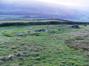 |
| Image 13 ID | 6641 Click image to enlarge |
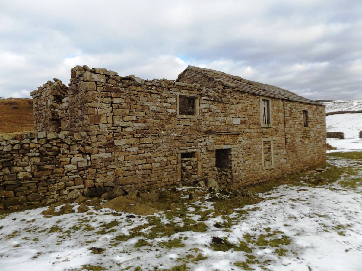
| Image 13 Description | Barf End. | 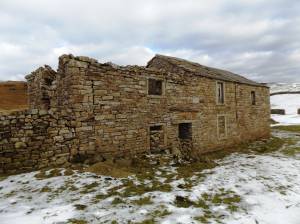 |
| Image 14 ID | 6642 Click image to enlarge |
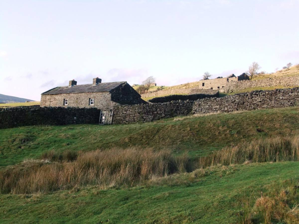
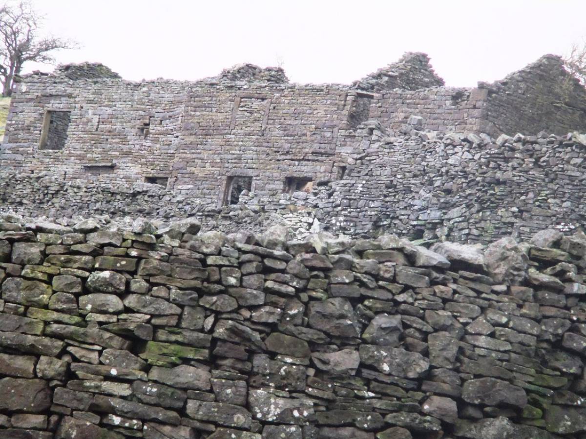
| Image 14 Description | Farm s occupied and ruined at Lodge Green. | 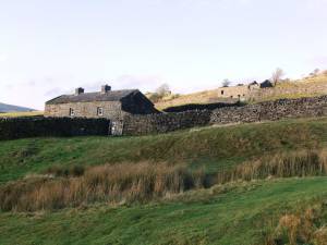 |
| Image 15 ID | 6643 Click image to enlarge |
| Image 15 Description | | 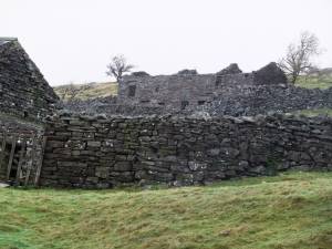 |
| Image 16 ID | 6644 Click image to enlarge |
| Image 16 Description | | 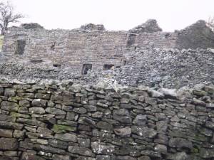 |
| Image 17 ID | 6645 Click image to enlarge |
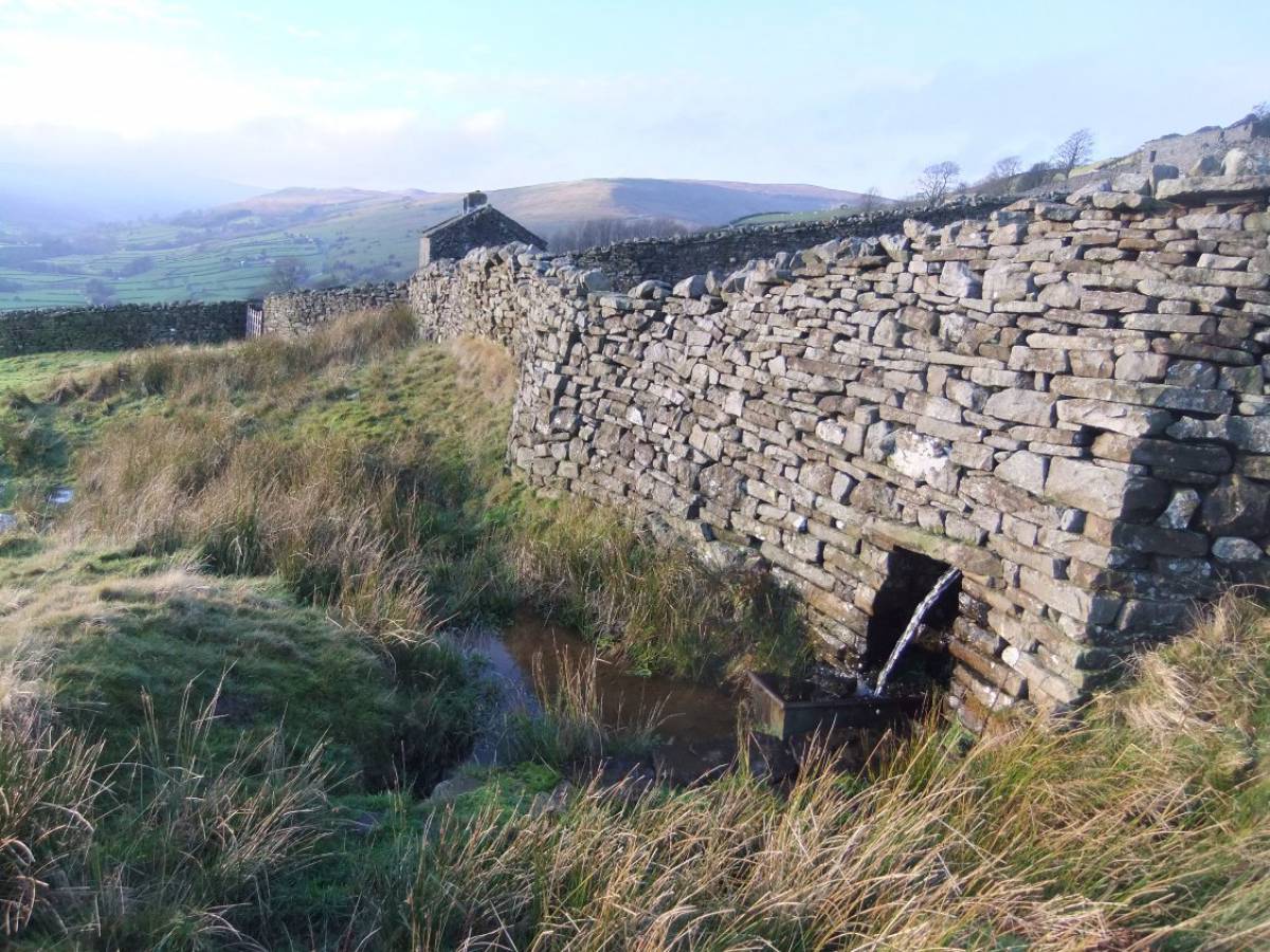
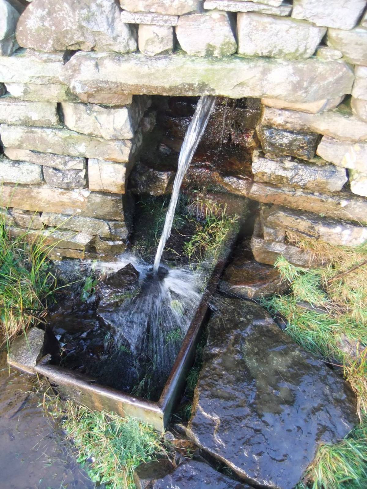
| Image 17 Description | Spring in Wall. | 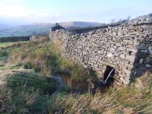 |
| Image 18 ID | 6646 Click image to enlarge |
| Image 18 Description | | 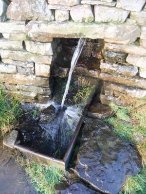 |
| Image 19 ID | 6648 Click image to enlarge |
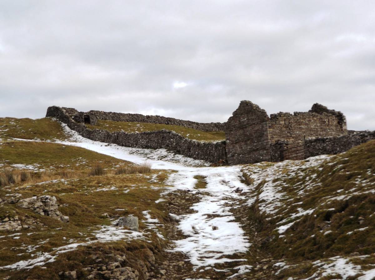
| Image 19 Description | Barn at the uppermost pastures | 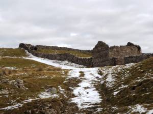 |
| Image 20 ID | 6649 Click image to enlarge |
| Image 20 Description | Structure of unknown purpose. | 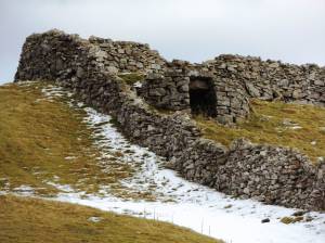 |